
A massive icing event is not expected. The brunt of the ice should stay to the west.
“But it’s going to be a really close call,” said WHIO-TV Chief Meteorologist Eric Elwell.
Ice could accumulate up to a tenth of an inch in some areas — enough to make roads slippery and to put electric utilities like Dayton Power & Light on alert. DP&L said it will have five times the amount of staff it typically has on hand, ready for downed power lines or other issues.
WHIO-TV Meteorologist McCall Vrydaghs said freezing rain may start along points south, working its way northward through the night and into the day today.
“Even after the precipitation comes to an end, temperatures will be cold enough that the ice or glaze — whatever falls — is not going to thaw right away,” Vrydaghs said.
Forecasters said the ice or rain is likely to be scattered or light. But even a little ice can go a long way.
“With a set-up like this, the big story is not necessarily the numbers, but rather the impact,” said Brett Collars, also a meteorologist for WHIO-TV. “With 0.5 or 0.10 of an inch, we’re still going to have the same impact. We’re still going to have slick roads regardless of how much ice actually builds up.”
Cold air was pushing potential problems up from southern Indiana and western Kentucky through Friday afternoon. And several rounds of icy weather were expected, with forecast models showing potential freezing rain tonight and Sunday, as well.
Sleet, freezing rain and maybe a few snow flakes may be seen south of Interstate 70, with issues lingering through early Saturday afternoon. The advisory may be extended if continued problems are evident, Vrydaghs said.
If ice accumulations reach a quarter of an inch, “That’s when we could see some power problems,” Elwell said.
Dayton Power and Light advises residents to prepare “storm kits” with items such as batteries, non-perishable foods, water, medications, cash, flashlight and a radio.
If there’s an outage or a downed power line, residents can call DP&L at 877-4OUTAGE (468-8243).
Brian Cunningham — spokesman for the Ohio Department of Transportation District 8, which includes Butler and Warren counties — said state crews will monitor the storm and pavement temperatures.
Crews will also be on call, he said.
“We will mobilize individuals to come in if and when necessary,” he said.
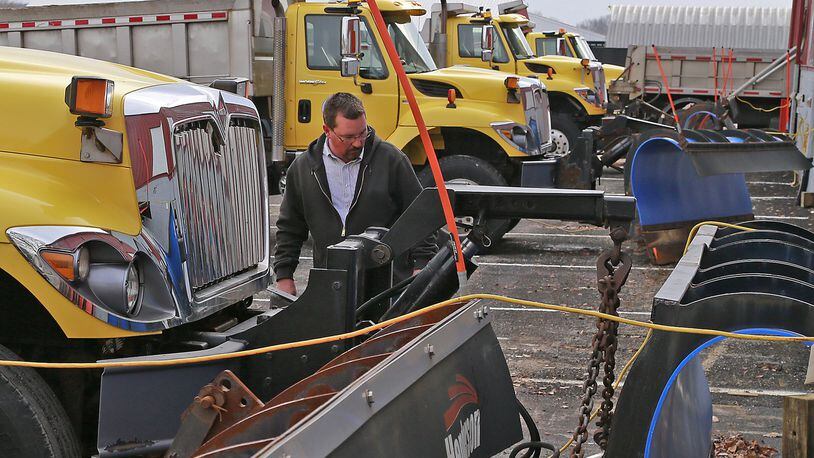
Chris Petrocy, a spokesman with the Butler County Engineer’s Office, said county crews are ready.
“We got the trucks loaded with salt,” Petrocy said. “They’re ready to go. Based on the projections we’re seeing, we’re planning to call our guys in around 7 or 8 o’clock.”
Law enforcement is also preparing.
“I’ve already made my sergeants aware that there’s weather in the forecast and that no leave should be approved,” Lt. Douglas Eck, of the Ohio State Patrol Xenia post, said Friday.
This afternoon may dry a bit, but don’t be surprised if refreezes are seen on the roads after the sun goes down today.
Early next week, temperatures are expected to climb into the 50s, with rain expected, too.
WHIO TV Reporter Gabrielle Enright contributed to this story.
MORE ONLINE
Find out if your local events have been cancelled, get the latest on weather and road conditions at MyDaytonDailyNews.com/weather/.
About the Author