
Since early last week, clusters of storms would develop across the Northern Plains or Upper Midwest and move southeastward into the Ohio Valley bringing widespread rain and storms. These, usually drought-busting-type storms form into a large complex of heavy rain, lightning, thunder and sometimes severe winds and hail called mesoscale convective complexes or systems (MCC or MCS).
Sometimes if the correct weather ingredients are in place, an MCS can turn into a derecho, creating widespread damaging winds that can stretch across hundreds of miles along the track of the system. The derecho that devastated Ohio on June 29, 2012 started as an MCS and traveled over 700 miles.
It turns out that, on average, June and July is the season of mesoscale convective systems from the Plains to the eastern half of the country. Thus, it may not surprise you that most of the wind damage reports that are not associated with tornadoes also occur during these two months in the United States. However, in Ohio, August can sometimes get close to - or tie with either June or July for the number of wind damage reports.
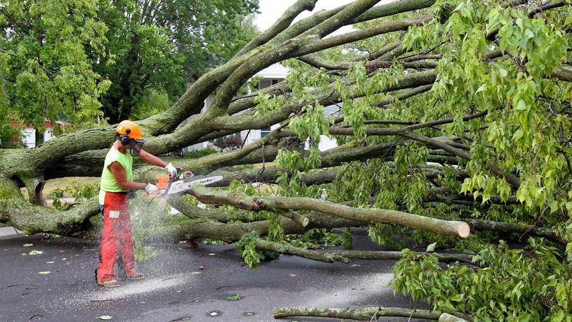
This July, so far there have been nearly 100 reports of wind damage from storms in Ohio, this is the highest number of any month this year and we still have a few days to go. However, the number of damaging wind reports across the United States is down by nearly 1000 reports from last month. Let’s hope the trend continues.
MORE: What you need to know if caught in severe weather away from home
So why are June and July (and sometimes August) the months with the “ring of fire”? It has to do with a jet stream pattern that is typical for the mid-summer months in which the southern and Central Plains experience extreme heat and humidity, yet the jet stream is still moving around this ridge of hot air and moisture. This boundary where the jet stream ridges are becomes known as the ring of fire, as this is where large clusters of storms can form and be fueled by the heat and moisture from the south and the high winds coming in above the storms from the jet stream.
Typically, these huge complexes of storms will move along with the jet stream flow, typically on the edge of the really hot air to the south and cooler, less humid air to the north. How strong these complexes become, including whether they produce a derecho (widespread damaging winds) is typically determined by how strong the jet stream winds are and how intense the heat is. If you recall, the week that the derecho hit Ohio in late June of 2012, we were experiencing record high heat with temperatures near or above 100 degrees.
DOWNLOAD OUR FREE NEWS APPS FOR THE LATEST BREAKING NEWS, WEATHER
During the spring months, typical severe storms that would produce severe winds, hail or even tornadoes typically would weaken near or shortly after sunset, ending the severe weather threat. However, during these mid-summer months when the “ring of fire” becomes active, these large clusters of storms generate their own instability and could live on well into the night, and sometimes even get stronger.
It is important to note that while these MCS systems can bring severe storms, they are also usually welcomed by farmers as they bring beneficial rain after what can typically be a period of hot and dry weather. These storm systems also can produce some of the most beautiful nighttime light shows on earth with frequent lightning strikes. But like many things in nature, sometimes the most beautiful things to see are also the most dangerous.
Eric Elwell is WHIO StormCenter 7 Chief Meteorologist. Contact him at eric.elwell@coxinc.com or follow him on Facebook and Twitter.
About the Author