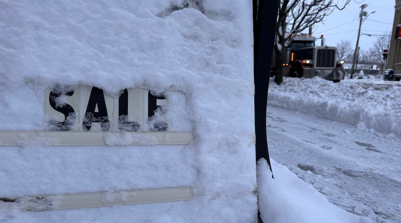
So far, forecast conditions do not meet blizzard warning criteria, meteorologists said — winds of at least 35 mph (56 kph), visibilities of less than a quarter mile (400 meters) and lasting more than three hours.
A storm that already brought snow to parts of the northern Plains states and the Great Lakes region continued Friday. Snowfall totals of at least a foot were expected by the end of the storm, particularly downwind of Lake Superior across the northern Lower Peninsula of Michigan and downwind of lakes Erie and Ontario, the weather service said. Areas of central New York state could see a foot (30 centimeters) of snow.
More than a foot (30 centimeters) of snow is likely in parts of Iowa, Illinois, Wisconsin and Michigan on Saturday, according to the weather service.
Snow squalls Friday bringing quick bursts of heavy snow and dangerous, whiteout conditions for driving were possible across the interior Northeast, the weather service said. Its winter storm severity index warned of highly dangerous driving conditions in eastern Iowa and northwestern Illinois from Friday afternoon until midnight.
In the Pacific Northwest and the Rockies, a combination of snow and rain was expected Friday. By Saturday, the snow will taper off for the Rockies and northern Plains, but continue on to the Midwest.
To the south, storms — some of them heavy — are in the forecast, with some flash flooding possible Saturday in the western Gulf Coast.
Temperatures were well below average in the eastern and central parts of the country, with highs Friday expected in the 20s degrees F and 30s degrees F in the Midwest, the 30s and 40s in New England and Mid-Atlantic areas, and the 40s and 50s in the Southeast.
The snowy weather on Thanksgiving brought a number of vehicle crashes in western Michigan.
