“It’s going to be a lot warmer,” said James Gibson, a meteorologist of the National Weather Service in Wilmington.
[9:06 PM] Temperatures around 10-14 degrees warmer than normal for this time of year Thursday as high pressure to our east transports warm southerly flow across the Ohio Valley. Rain showers move in Friday morning though, so tomorrow is a good day to play hooky. pic.twitter.com/c50rejnBlI
— NWS Wilmington OH (@NWSILN) December 29, 2022
The warmup from below normal temperatures to temps well above normal is underway, with highs in the 50s for today. Overnight, it will be cloudy with a low around 47 degrees.
“Rain will move into the area starting early Friday morning,” Gibson said.
The wet weather will stay until the afternoon on New Year’s Day, with total rainfall between a half-inch and an inch in the forecast, he said.
West central Ohio could see more than an inch of rain, according to the NWS.
[5:54 AM] Temperatures will remain above normal for the next several days. We'll also have some rain moving into the area tonight into tomorrow. pic.twitter.com/lY1rPYhB49
— NWS Wilmington OH (@NWSILN) December 29, 2022
While snowmelt and rain can lead to flooding, Gibson said no issues are expected in the region at this point.
The high temperature will be 53 degrees for New Year’s Eve, and the high for New Year’s Day will be 51 degrees.
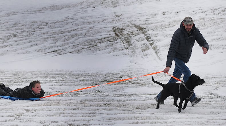
Compare that to last holiday weekend, when a winter storm dropped about 3 inches of snow and brought bone-chilling cold.
It was the coldest Christmas Day since 1985, with a high of 14 degrees in Dayton and 17 degrees in Cincinnati, along with dangerous wind chills, or the “feels like” temperatures, of more than 30 degrees below zero.
The average temperature for the New Year’s holiday weekend is around 38 degrees, Gibson said.
The unusually warm weather continues into the first week of the new year, with temperatures reaching the lower 60s — about 20 degrees above normal — for Tuesday.
Another round of rain is expected to move into the region late Monday and early Tuesday.
About the Author

