Credit: Tom Gilliam
Credit: Tom Gilliam
Hills & Dales MetroPark: Perhaps one of the best-known remnants of the past can be found at Hills & Dales MetroPark. Known by a number of names — including Frankenstein’s Castle, Patterson’s Castle and Lookout Tower — the turret-shaped stone tower in the park was built by the National Youth Administration and opened in approximately 1940. Its original purpose was to provide visitors with a beautiful view of the Community Country Club. The structure’s original wooden roof was lost long ago and, due to safety concerns, the tower has been sealed so no one can enter, but it remains a favorite Hills & Dales landmark.
According to urban legend, the tower is haunted by a young woman who died in 1967 when lightning struck the tower while she and a companion were inside. Supposedly, shortly after the tragic death, park goers started to report seeing the burnt images of her inside, staining the walls. The park repeatedly tried to paint over these images to no avail. This created many rumors, and the tower became a mecca for curious observers, which led it to be closed for safety and to prevent vandalism.
How to go: Park in the lot at 100 Deep Hollow Road and take the 1.5-mile Adirondack Trail. Continue on the half-mile Inspiration Point Trail and check out Old Barn Camp to imagine what life was like at the turn of the 20th century in Dayton. Visit metroparks.org/hills-dales for more information.
Possum Creek MetroPark: Another destination once bustling with activity can be found at Possum Creek MetroPark’s Argonne Forest. You can still see traces of this 1930s park dedicated to a World War I military unit. Find a low, L-shaped wall that once was part of the park’s swimming pool, the remnants of three street cars and a large cement square that was part of the dance floor. Argonne Forest was built to give people, most of whom were urban-dwellers at the time, a respite from the city’s crowds and congestion.
How to go: From the park’s entrance at 4790 Frytown Rd., park in the first lot and hike the 1.4-mile purple trail loop. Visit metroparks.org/possum-creek for more information.
Carriage Hill MetroPark: The Carriage Hill Family Farm Trail invites visitors to take a step back to simpler times and explore life on a working farm in the 1880s.
The 0.75-mile, natural surface Carriage Hill Family Farm Trail includes interactive stops where visitors can imagine the park when it was home to the Arnold Family, landowners from the 1830s to 1916. Points-of-interest along the trail include:
- Truck patch gardens
- Arnold family cemetery
- Joseph Arnold House
- Sugar camp
- Orchards
- Equipment graveyard
How to go: To access the trail, visitors walk through the Carriage Hill Historical Farm, which includes original and reproduction buildings representing the 1880s. Visit metroparks.org/carriage-hill for more information.
Twin Creek MetroPark: Human history winds back thousands of years: Twin Creek MetroPark contains a pre-contact Native American hilltop mound, Carlisle Fort, built approximately 2,000 years ago. Once thought to be a fortification, archaeologists now believe it was a ceremonial location for the Hopewell culture.
How to go: Find these ancient ruins in a beautiful, forested area. Park at the trailhead near the entrance at 8502 Chamberlain Road. Hike the 1.6-mile green trail and look for the Hopewell Earthwork marker.
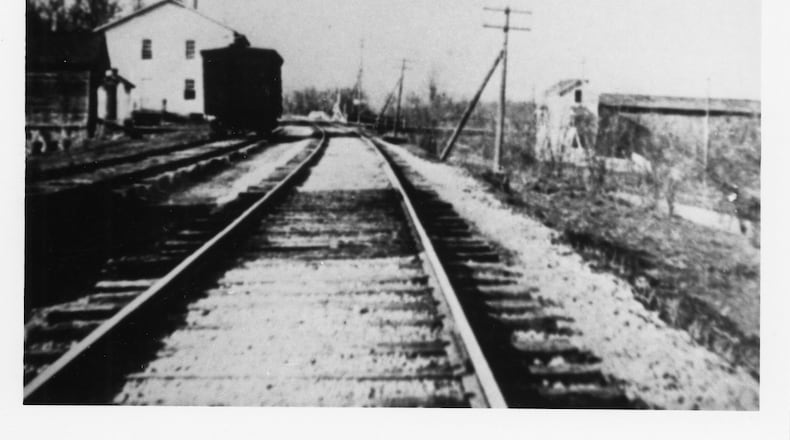
Taylorsville MetroPark: While not haunted by rumors of ghosts, another distinctive remnant of the past can be found at Taylorsville MetroPark, home to the once-bustling village of Tadmor. One of the most important centers of transportation in early Ohio history and known as the original crossroads of America, Tadmor was located on the National Road, the Miami and Erie Canal, and Dayton & Michigan Railroad line. Residents hoped Tadmor’s strategic location would help it prosper, but successive flooding on the Great Miami River stifled growth. Tadmor was finally abandoned when a dam constructed by the Miami Conservancy District in 1922 to retain water during flooding made the site uninhabitable.
How to go: Follow the paved Great Miami River Bikeway north of the dam about 1.25 miles to the site of Tadmor. Park in the lot at the 2005 U.S. 40 entrance. Not much remains of Tadmor, so look for the historical marker to know when you’ve arrived at this ghost town. Visit metroparks.org/taylorsville for more information.
MetroParks’ mobile app, powered by OuterSpatial, can help you find all these points-of-interest along the trails. Download MetroParks’ free mobile app at metroparks.org/mobile.
About the Author


