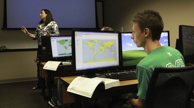
Geospatial technology is a sometimes little-understood field, but one that is expected to grow.
Graduates from Clark State’s three-year-old geospatial technology program, commonly known as GIS, can track diseases for public health, analyze zip codes to help major retailers choose where to locate stores or work with the military, said professor Aimee Belanger-Haas. Some students are even getting jobs before they finish the program.
Belanger-Haas said depending on where a graduate works, they can use their GIS skills in different ways. “You can apply it to whatever you’re interested in,” she said.
Students are trained in geographic information systems, remote sensing and global positioning systems. “It’s basically a way of understanding the where — where is something — in your data,” she said. A co-op is also required.
About 600,000 Americans work in the field today, and experts expect that number to rise to 850,000 by 2018, Belanger-Haas said. The demand in the Dayton area could grow significantly if Ohio lands a spot as one of six national test sites for drones.
Clark State also offers four certificates in the field, although Belanger-Haas said a degree is typically desired by employers.
Students do not need any background knowledge before entering the program, she said.
“I always compare learning geospatial technology to learn a new language,” she said. “We teach you everything.”
Each of the four students who have earned the degree since the program launched have a job in the area, she said. About 25 students are currently enrolled in the program.
About the Author
