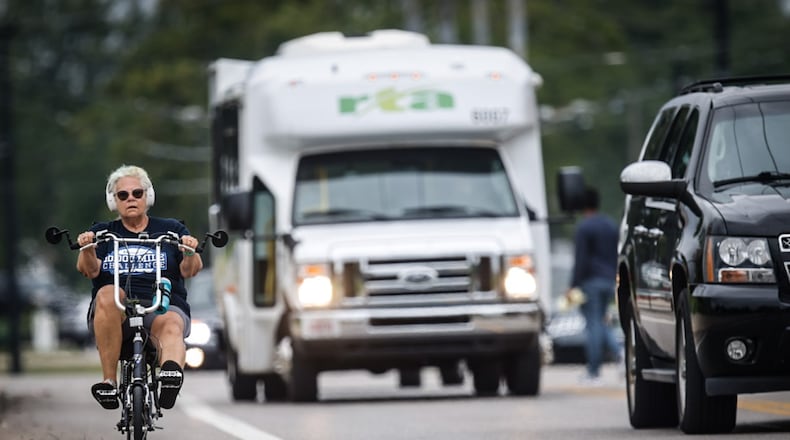
Dayton is working to finalize and approve a plan focused on improving the ways people can get around the city without cars that calls for some major infrastructure upgrades including to the sidewalk and bike-path networks.
Dayton’s new Active Transportation Plan recommends making enhancements at about 250 intersections and constructing about 124 miles of new on-street bikeways, 12 miles of new shared-use paths and 10 miles of new sidewalk.
The plan is a long-term vision that is meant to “really represent the needs of the community,” said Susan Vincent, a planner with the city of Dayton.
“By adopting this plan, the city will be in the best position to take advantage of future state and federal funding for new bike and pedestrian infrastructure,” she said.
Credit: JIM NOELKER
Credit: JIM NOELKER
Planning staff with the city have spent more than two years working on the new Active Transportation Plan, which recently was recommended for approval by the Dayton Plan Board.
The plan, which is expected to head to the Dayton City Commission for consideration later this month, seeks to increase access to outdoor amenities and promote and expand walking and biking facilities and opportunities.
Surveys of more than 1,000 community members found that the overwhelming majority of respondents would like to walk, run or use wheelchairs, strollers, bikes, scooters, skates or other kinds of mobility devices for fitness and recreation.
Also, most people said they would like to be able to go shop at the store without having to use a car, and many residents would like to be able to visit family and friends without driving.
The surveys, however, identified some barriers that prevent people from getting around without an automobile.
Community members said their biggest concerns were about personal safety, dangerous roadways, bad sidewalk and pavement conditions and not having places close enough that they want to visit.
“In many of our neighborhoods, there is not an easy destination to walk or bike to,” Vincent said.
Dayton’s new Active Transportation Plan recommends installing new sidewalks where there are gaps; creating new bicycle lanes, paths and facilities; and making safety upgrades at many intersections. The primary goal is to increase the safety and convenience of walking and biking.
Dayton has more than 1,800 miles of sidewalk, 1,470 miles of roadway and 22 miles of existing bike lanes, paths and facilities.
The city already has secured funding for future projects that will add about 10 more miles of bike lanes.
Dayton also has more than 20 active transportation projects planned through 2027.
This includes constructing new bike lanes on Xenia Avenue; putting North Main Street on a road diet; adding traffic-calming measures on Wayne Avenue; and rebuilding part of Smithville Road.
But city staff say the Active Transportation Plan calls for a “complete” cycling and pedestrian network that would include many projects beyond those that have already been funded.
The city says it wants to pursue active transportation facilities that connect people to jobs, schools, parks and other destinations and that also make community members feel comfortable getting around on foot or on bikes and other mobility devices.
The surveys found that community members would like to see better lighting for pedestrians; more bike lanes; more bikeways that are separated and protected from the roadway; better maintained streets; repaired sidewalks; and tougher enforcement of traffic laws.
Intersection improvements could include installing high-visibility crosswalks, rapid flashing beacons and bike boxes, staff said.
The plan prioritizes intersections partly based on pedestrian and bike crash data and safety and risk analysis, said Katie O’Lone, a senior planner with Toole Design, which was prime consultant on the plan.
The vision is to create more safe streets that are accessible to community members of all ages and abilities, with a strong focus on equity and safety, O’Lone said.
The city’s public works department hopefully will compare its annual street paving plan to the Active Transportation Plan to identify opportunities to implement the recommended improvements, she said.
The city will work on implementing the Active Transportation Plan’s short-term, medium-term and long-term goals, officials said. The long-term goals could take up to 15 years.
About the Author


