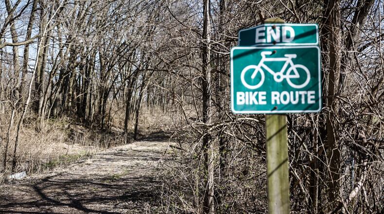
“This idea of creating a cross-continental, multi-use trail was something that one of our founders, David Burwell, talked about 30-plus years ago,” said Eric Oberg, Midwest regional director for Rails-to-Trails Conservancy.
As separate trails along the proposed route are developed, the Rails-to-Trails Conservancy works with local entities in each area to facilitate the connection of these trails. This means, in order for the big-picture project to come to fruition, the participation and support of local departments is imperative, Oberg said.
“We don’t own or manage trails, so in our region, we needed Five Rivers MetroParks to be on board,” he said. “We’ve spent the last four years continuing to work with state and local partners to keep getting more trail on the ground to fill in the gaps.”
According to Carrie Scarff, chief of planning and projects for Five Rivers MetroParks, the Wolf Creek Trail begins at the mouth of Wolf Creek, where it meets the Great Miami River in downtown Dayton.
The trail goes west along the south bank of Wolf Creek, continues west and currently stops near Wesleyan MetroPark. The Wolf Creek Recreational Trail also has a segment in Trotwood, which begins at the end of Vickwood Lane and travels along an abandoned railroad corridor. This segment extends 13 miles west, from Trotwood through Brookville, ending at Preble County Line Road in Verona.
MetroParks has been working with Rails-to-Trails Conservancy to fill the gap between the Dayton and Trotwood trail segments as part of the Great American Rail Trail project. This will be completed in multiple phases.
“What the city of Dayton is going to do in the next few years is continue the trail along the creek all the way into Wesleyan MetroPark and connect to the bikeway there,” she said. “Then, (Five Rivers MetroParks) has a project funded to extend that bikeway along the north bank of Wolf Creek, through Wesleyan to Hickory Dale Park.”
From there, trail will be constructed to continue along the creek and connect to the Wolf Creek Trail at Vickwood Lane, completing Montgomery County’s contribution to the Great American Rail Trail. This last phase is not yet funded, Scarff said.
The Great American Rail Trail will not only serve as an accessible, safe outdoor amenity for residents in the area, Oberg said, but may also provide economic benefits for the communities it travels through with the potential for new jobs, lodging, and tourism revenue.
Oberg said the Rails-to-Trails Conservancy, which specializes in fostering the development of accessible trails, has watched as a “trail movement” has spurred the development of walking and biking trails throughout the U.S.
By tracking geographic information over the past two-plus decades, the agency determined a clear route across the country for the Great American Rail Trail to take shape.
“Once we crossed a threshold, observing more than 50% of the (envisioned) route being completed, we spent almost a year and a half meeting with state Departments of Transportation, Departments of Natural Resources, and local trail managers making sure the route was viable,” Oberg said.
Once completed, Ohio’s section of the cross-country trail will total 335 miles. In the Dayton area, the trail follows the Creekside Trail from Greene County in Montgomery County, then the Mad River Trail into downtown, then connects to the Wolf Creek Trail.
Oberg said it was clear early on that the nationwide trail would feed into the Dayton area’s trail system.
“The Miami Valley trail network is the largest connected paved trail network in the country,” Oberg said. “Having this national corridor coming through the middle of that just adds another feather in the cap to showcase what the Miami Valley has done in the last 40 years to facilitate something of this scale.”
About the Author


