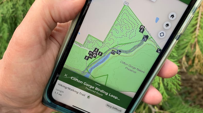
“With the DETOUR app, it’s like having a personal trails guide in your pocket,” said Mary Mertz, ODNR director, in a release. “The app highlights nearby trail systems and promotes lesser-known trail gems found throughout the state.”
Trails can be searched for by region, level of difficulty, activity, type, and distance.
Trail routes in Ohio will continue to be added to the app. The first public release of DETOUR includes those managed by ODNR.
While the app opens up the state to hikers, trails closer to home are also featured including a 11.6 mile trail at Caesar Creek State Park and 1.7 mile birding loop at Clifton Gorge State Nature Preserve.
Other trails accessible with the app include the City of Columbus, Cleveland Metroparks, Columbus and Franklin County Metro Parks, Cuyahoga Valley National Park, Great Parks of Hamilton County, Lake Metroparks, Medina County Park District, MetroParks of Butler County, Wayne National Forest, Metroparks Toledo, Central Ohio Greenways, and Summit Metro Parks.
Ohio’s extensive network of recreational trails includes the Ohio to Erie Trail, which spans more than 326 miles from Cincinnati to Cleveland, and the looping 1,400-mile Buckeye Trail that reaches into every corner of Ohio.
To access the web app, visit DETOURtrails.ohiodnr.gov. For mobile devices, the app can be downloaded from the Apple App Store or Google Play Store for free.
About the Author


