Natural factors including encroaching vegetation have long been the cause of maintenance problems that often lead to power outages. Though utility companies such as AES Ohio have preventative services to deal with these issues, they often require resources, manpower, and time to investigate.
According to a 2018 report from the U.S. Energy Information Administration, electric customers from 2013 to 2018 had lost approximately two hours of power on average each year from natural causes other than major events.
With the integration of Unmanned Aerial Vehicles, also known as drones, maintenance work that would normally take a person hours to inspect and complete will take minutes, cutting back on time needed for repairs.
“Our activities are about reliability and safety, trying to keep the lights on, and drones are a new way to really explore that,” Rob Beeler, AES Ohio’s customer business manager and project’s lead coordinator, said.
In 2018, AES Ohio — then called DP&L — adopted its drone program, allowing a few of their pilots to complete their Part 107 and obtain their drone license. Currently they have four employed pilots and own seven drones.
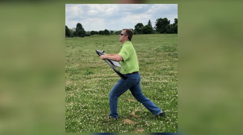
They later purchased a government grade eBee X fixed-wing drone from its manufacturer company, senseFly. The drone flies horizontally like an airplane up to 25 mph and is equipped with a camera on the bottom along with several safety measures including a built in emergency landing procedure.
In 2020, AES Ohio, looking to modernize their data management, called upon the Sinclair UAS program for a nine-month-long partnership that will result in a completely digital map capable of displaying which power lines are in need of maintenance.
Sinclair’s UAS team, led by executive director and chief scientist at Sinclair college, Andrew Shepherd, agreed to fly and help compile the data from AES Ohio’s eBee X for the project.
“Between [their] support and knowledge, and [their] ability to fly the drones internally, there was no reason to go to anybody else, [but Sinclair],” Beeler said.
The goal for the project is to provide enough data for the map by capturing 1,000 miles worth of power line images out of the region’s 1,700 transmission miles. However, there have been a few setbacks that have impeded the process.
As an investor-owned utility company, AES Ohio is only allowed to fly the drones up to a maximum of 400 ft and are restricted from controlled airspaces just like civilian pilots.
Pilots without special waivers from the FAA are also limited to flying the drones within their visual line of sight (VLOS), significantly reducing how much distance can be covered during each launch. The partnership has yet to be approved for their waiver.
“[This project] really is a cutting edge application [for] the FAA,” Shepherd said. “There’s not a lot of power utilities that have adopted UAS, certainly not many that have invested in that capacity to pursue that strong of an implication.”
With over 500 miles out of 1,000 having currently been flown and more than 400,000 images captured, customers of AES Ohio should soon expect more efficient and reliable service from the utility company as they continue to advance their equipment and work method.

