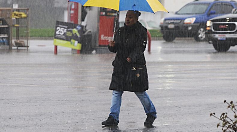
In fact, I know many of you are more than ready for winter to fade away into the warmer temperatures of spring. Unfortunately, it appears spring will be getting off to a very slow start.
MORE LOCAL WEATHER
Weather pattern favoring warm, active period over the spring months
25 years later, ‘Storm of the Century’ remembered for tornadoes, snow
Last week, the National Oceanic and Atmospheric Administration released its national spring outlook. In that outlook, the forecast called for temperatures to be above average for most of spring across the Upper Midwest and Miami Valley.
While that might have made some happy, it is important to note that the forecast didn’t call for all of spring to be above normal. Temperatures will likely stay below average at least through the first week of April.
However, it is also important to note that just because temperatures may stay below normal into the start of the new month doesn’t mean it isn’t going to warm up. The long-range forecast does show warmer weather in store through much of this week.
Temperatures should reach to near 60 degrees later this week before falling back into the 50s as rainy weather continues through Friday. But when you consider that March has had an average temperature of 34.5 degrees, which is running nearly 5 degrees below normal for the month, temperatures in the 50s will feel a lot better for most.
Of course, you’ve likely heard the saying “April showers bring May flowers,” and we will certainly have plenty of showers. In fact, we will have to keep a close eye on the threat for some flooding over the next week.
The rainy pattern is likely to continue for at least the next two weeks with NOAA’s spring outlook maintaining a soggy outlook through the season. Despite the wet outlook, the cooler than average temperatures over the next few weeks will likely limit any threat for severe storms, at least for the time being.
April through June are typically peak severe weather months for Ohio. It will be interesting to see if the cooler start to spring will help make for a less than active storm season, or only delay it.
About the Author

