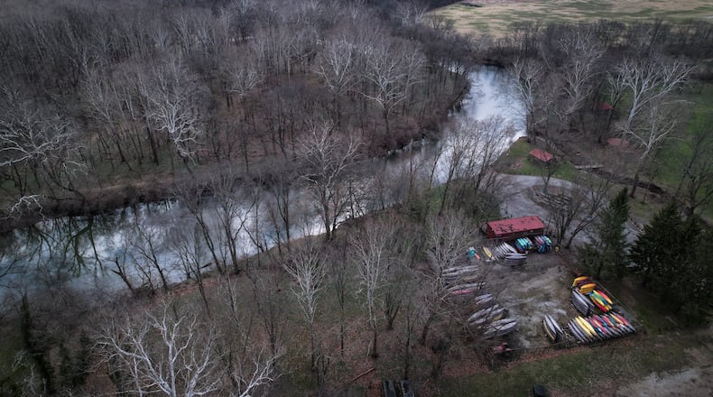
In addition, the 43-mile stretch of river north of Oregonia in Warren County and its associated parks generate $4.8 million in commercial activity for local businesses.
“It shows that the investments already made in the Little Miami River corridor provide enormous recreational benefits of $43,000 per acre,” said Brent Sohngen, a professor of environmental and resource economics who worked on the study.
He said the data can be used to show lawmakers and patrons the value of investing in the river.
“This should give local park districts confidence that their efforts to provide recreational resources are paying off,” Sohngen said. “Lawmakers should see that designating streams as State Scenic Rivers provides economic opportunity, because in addition to the recreational benefits, parkland generates $1,116 per acre per year in local economic activity.”
This stretch of the Little Miami River draws over 800,000 visitors every year, for hiking trails, biking, walking, fishing, birding and water sports. An estimated 30,000 people patronize canoe rental shops annually.
The Little Miami River touches Hamilton, Clermont, Warren, Greene and Clark Counties. Greene County Parks and Trails saw a spike in usage during the COVID-19 pandemic, a trend that has only accelerated in 2022.
“We are always interested in ‘what are the users’ patterns?’ and ‘what are the users’ interests?’ in parks, so the economic information from this gives us a real sense of where to spend our dollars to have the greatest benefit,” said parks director Jon Dobney. “As a county-wide agency, it’s in our best interest to be relevant with all the communities in the county.”
To gather the immense amount of data, an all-volunteer team of 20 individuals made thousands of site visits to 45 locations from the beginning of April to the end of October 2021. Volunteers led by the Little Miami Watershed Network visited the sites at random times three days per week to count the number of cars and to leave a contact card on each car requesting adult respondents to participate in an online survey. The resulting data from 2,400 respondents allowed us to estimate the number of visitors to different sites, their activities, and the value of their recreation.
Sohngen added the only reason the study happened at all was because of the efforts of volunteers.
“There was no other way to collect the data,” he said.
Researchers used a “zonal travel cost model,” which is a common method used to determine the economic value of public land, to estimate recreational value of the river. Recreational value, also called consumer surplus, is the difference between what the consumer pays to visit a site, and what researchers estimate to be their willingness to pay to visit the site.
“Private land is really easy because all land sales are recorded, and most data is available online nowadays,” Sohngen said. “The value of public land, though, is derived from the use and non-use benefits it provides.”
Since much of the Little Miami River is associated with public parks, the use benefits are recreational benefits. The non-use benefits are more complicated.
“These are things like the benefits of providing wildlife habitat, where just knowing the wildlife are thriving is the benefits,” Sohngen said. “These estimates can be developed as well with other survey-type techniques, but in this case, the use values are sufficient to generate significant investments for protection of the resource.”
Other key findings indicate the largest number of trips occur in May and June. The northern part of the river, which includes Yellow Springs, Glen Helen, John Bryan State Park, and Clifton Gorge had the largest number of visitors. Xenia Station had the highest recreational value for biking, and Mill Bridge had the highest value for water sports. The majority of canoe liveries, which alone generate $1.7 million in revenue, are located along the southern parts of the river, near Bellbrook.
“The river is the backdrop of our adventures, the guidepost to our present, and the pathway to our future,” said watershed network president Hope Taft.
About the Author

