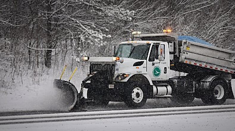
Forecasting a snowstorm, especially like the one we just had, can be challenging.
Nailing down the timing, track, location of the cold and warm air, types of precipitation and how much snow will fall are all things meteorologist take into consideration when making their predictions. There is even such a thing we like to call the “Fluff Factor” or “Snow Ratio.” That’s a basic science used to estimate the maximum and minimum snow totals to be expect.
>>Another winter storm brewing: When Miami Valley could see snow, freezing rain
Air temperatures, moisture and flake size all play a role in how high the snow can stack up. Typical snowstorms have snow to liquid ratios of 10 to 1. That means 10 inches of snow melted down would equal 1 inch of liquid water.
Of course that’s not always the case. More moisture and warmer air can lead to wet, heavy snow with a snow ratio of 5 to 1. In that scenario, the snow might not fluff up as it normally would.
On the other hand, dry snow can produce 15 to 1 or even higher ratios. That’s when the “Fluff Factor” can be tricky. We tend to see this with Alberta Clipper systems. While they don’t come with a lot of moisture (a drier storm) and are quick moving, they are very cold and can create high snow totals in a short period of time.
Meteorologists also take history into consideration. When forecasting a snowstorm, we often look to the past. Knowing how common it is to have a storm that can produce “X” amount of snow is important. For Southwest Ohio — and Dayton in particular — it’s not too often a 6-inch or more snowfall occurs. Until this past weekend, the last time Dayton had a 6-inch snow in one day was Dec. 6, 2013. That’s more than five years ago!
Many reached that and more this weekend, breaking records. Dayton recorded 6.1 inches of snowfall on Saturday, breaking the previous daily record of 5.8 inches set in 1964. Cincinnati came close to tying a record on Sunday, with 4.7 inches, just shy of the record of 4.8 inches set in 1939.
The time of year and the amount of snow this past weekend has many talking about the Blizzard of ’78. While we found ourselves feeling buried in snow, it was nothing compared to that storm almost 41 years ago.
On Jan. 26, 1978, 12.2 inches of snow fell across the region, which remains the record for highest daily snowfall. While only a few inches more than what some received this weekend, it was more than that because it was just part of a massive 40-plus inches of snow that had fallen throughout the month.
This added snow eventually led to 25-foot high snow drifts in spots. Traveling proved to be a significant challenge and for the first time in 65 years, the mail couldn’t be delivered. The Great Flood of 1913 was the last time the postal service failed to make its rounds.
Now that we’ve all had our first real taste of winter this season, the question remains, are you ready for more? Our Storm Center 7 team is focusing on another potential winter storm this weekend.
Stay tuned to the forecast to see how this one will pan out. Just know our Storm Center 7 team will be working hard to get you prepared and keep you safe.
About the Author


